
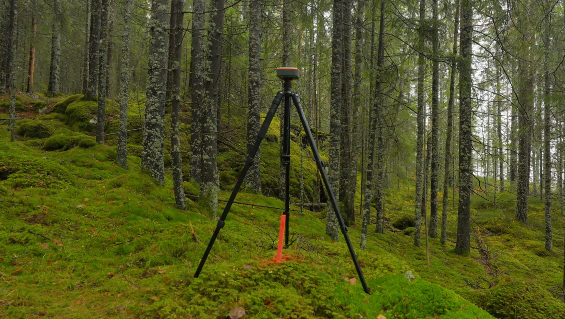
Credits you can trust start with trees someone has actually measured. This fall, Noora completed its first T0 pilot measurements in Southern and Eastern Norway, establishing permanent sample plots on stands owned by some of our early-mover forest owners. The work lays the measured foundation for a VM0045 Improved Forest Management project - and gives us hard data on MRV cost, timelines and the quality of forest owners' own data before a single credit is offered to the market.
A forest owner's view
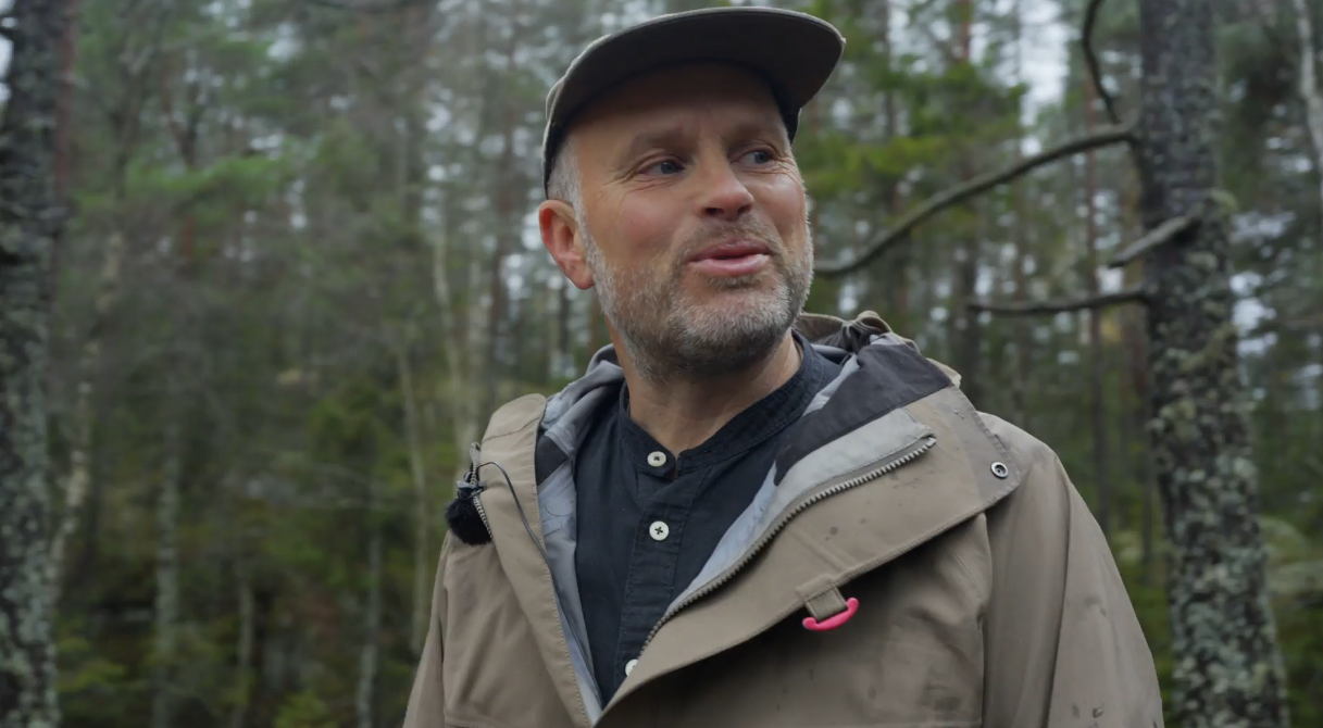
Mats is one of the forest owners included in the measurement pilot of 2026
"I'm a forest owner with a strong interest in nature, especially birds. What I find exciting is combining commercial forestry and timber income with letting some of my forest grow older. That builds carbon, but it also protects other values, like the capercaillie leks, which I'm lucky to have on my land." - Mats Finne, Forest Owner.
Why measure? VM0045 and MRV in brief
For a credit buyer, the key question is simple: does this credit represent a real, additional tonne of CO₂ kept out of the atmosphere? VM0045 is an Improved Forest Management (IFM) methodology built to answer that question with measured data rather than assumptions.
Its core strength is a dynamic baseline. Instead of predicting what a forest owner "would have done" decades ahead - a weak point in many older forest carbon projects - the project forest is compared over time with matched, similar forests in the National Forest Inventory (NFI). Credits reflect the measured difference, not a modelled scenario.
That comparison is only as reliable as the field data behind it. This is where MRV - Measurement, Reporting and Verification - comes in:
Measurement: field inventory on permanent sample plots, starting with a T0 measurement that sets the project's starting point
Reporting: transparent calculation of carbon stocks and changes, following the methodology
Verification: an independent third party checks the data and the calculations before any credits are issued
No solid T0 inventory, no creditable project. For buyers, it is the first and most important proof point of integrity.
Why start now?
We chose to go into the field early, in a pilot, before scaling up. Doing so lets us build the measurement system right from the start:
Rigour from day one. Every plot is measured to the same protocol that will apply across the full project, so the data buyers rely on is consistent from the first tree to the last.
Independent ground-truthing. Field measurements are checked against the stand data forest owners already hold, giving an independent view of what is actually standing in the forest.
A scalable, credible MRV setup. Real field experience lets us plan future measurement campaigns realistically, so the project can grow without compromising on data quality.
We would rather answer the hard questions in a pilot than leave them for later.
How we measured
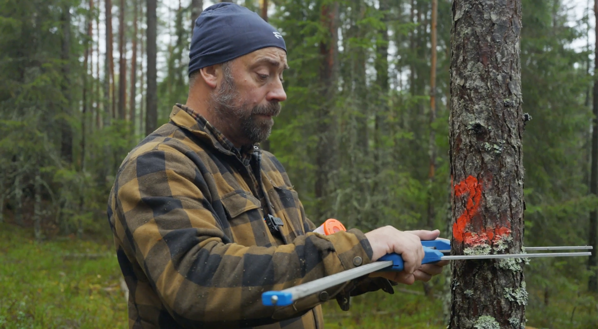
Vendor measuring a tree’s diameter inside a sample plot
Every sample tree is numbered and measured to the same protocol, so it can be found and remeasured in the next monitoring round.
The pilot follows a simple, step-by-step design that an auditor can trace from the project boundary down to the individual tree:
A defined project area. We started by drawing a clear boundary around the pilot area, which includes forests owned by a group of early-mover forest owners.
Grouping similar forest. Within that area, stands were sorted into groups of similar forest - for example by how productive the site is. Foresters call this stratification. It ensures each type of forest is properly represented and makes the estimates more precise.
Random selection of sample stands. From each group, sample stands were picked at random. That way the sample reflects the forest as it is, not the best-looking parts of it.
Permanent sample plots. Inside each selected stand, the field team laid out permanent sample plots. They are marked so the same plots and trees can be found and remeasured in future rounds, making every change in carbon stock directly comparable over time.
A standardised protocol. Every tree was measured following the Norwegian National Forest Inventory's field methods, adapted to VM0045 requirements and set out in a standard operating procedure (SOP). This keeps our project data consistent with the NFI data the baseline is built on.
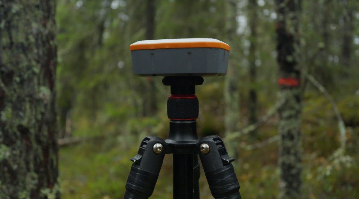
High-precision GNSS fixes each plot's position.
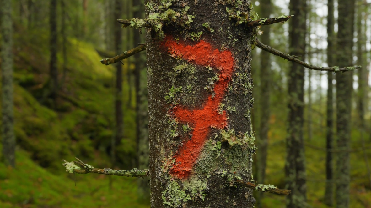
Numbered trees make every remeasurement traceable.
From plan to plot: the pilot
We kept the pilot deliberately focused: a limited area in Southern and Eastern Norway and a selection of forest types, so we could learn in depth before going broad.
The fieldwork was carried out this fall by an experienced Swedish forest inventory team. Measuring to the Norwegian NFI protocol with VM0045 requirements on top was new to them - but the transition went smoothly, as the Swedish and Norwegian methods have a lot in common.
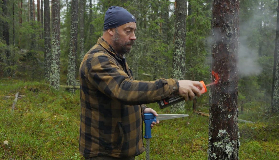
The team did notice a clear difference in the forest itself:
"The forest in Norway differs from what we're used to in Sweden. In general it's been thinned less, so we measure more trees in each plot." - Anders Sjölander, field team lead
What comes next
The pilot data is now being analysed. The findings will feed directly into Noora's MRV plan - the blueprint for how the full project will be measured, reported and verified - including plot design, sampling intensity and how forest owner data is used alongside field measurements.
For buyers, the result is a project built on measured data and tested methods from the start. If you want to learn more about our approach or follow the project as it develops, get in touch
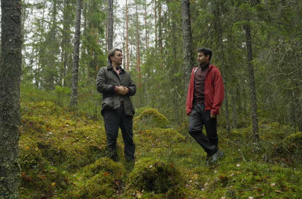
Noora’s Gustav Bendz and Simen Burgos walking through a typical project forest in South-eastern Norway
